Skip to content
The Map Den
The Map Den

Mapping the latest interests in the GIS, Mapping, geography and anything in between.

Primary Navigation Menu
Menu
  • The Map Den
  • maps
  • data visualisation
  • My Maps
  • Music Map
    • Music Map
    • Music Map: FAQs
    • Music Map: Archive
  • About

tips

Mapbox GL JS visualisation examples

So you want to make a web map? Part 3

2017-08-10
By: TheMole19
On: August 10, 2017
In: gis, maps, tips
Tagged: arcgis, carto, geospatial, gis, mapbox, mapping, maps, web development
With: 0 Comments

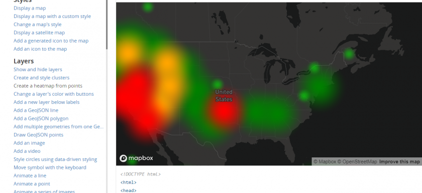
Okay, now I want to get coding… In the previous posts in this series, we have looked at the intuitive ‘out-of-the-box’ web maps you can configure with little to no coding knowledge, whether that be with CARTO or ArcGIS Online, with differing level of learning curves. This may be all you require and provide a timely and quick web mapping solution, particularly in the latter example, one that is integrated with your organisation’s/personal GIS infrastructure. However, to begin customising and ‘fine-tuning’ your web map to your exact needs, some knowledge or understanding of HTML, CSS, and a web scripting language, like Javascript, is required. IRead More →
ArcGIS Online Sandbox

So you want to make a web map? Part 2

2017-07-13
By: TheMole19
On: July 13, 2017
In: gis, maps, tips
Tagged: arcgis, geospatial, gis, mapping, maps, old maps, web development
With: 0 Comments

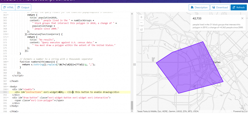
So I can make a web map, but I want more control… In my previous post, I introduced you to the world of web maps and how the world of geo web development has become more accessible for wanting to get started straight away in creating web maps with little to no web development skills, thanks to the intuitiveness of sites like CARTO. As explained previously, for many this is maybe all you are looking for or need, but others may want to explore options more integrated into existing offline GIS software, and get involved customisation and coding further. ArcGIS Online – Tailored for all levels IRead More →

Example of Carto Builder

So you want to make a web map? Part 1

2017-07-12
By: TheMole19
On: July 12, 2017
In: gis, maps, tips
Tagged: arcgis, carto, data, data visualisation, geospatial, gis, map, mapbox, mapping, maps, web development
With: 4 Comments

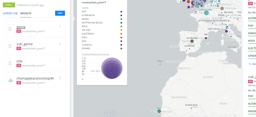
That web map looks great! Wish I could make one… In some ways, there has maybe not been a better time to be involved in the geospatial and cartographic industry, whether as a profession or as hobby/passing interest. While ‘static’ maps and images of geographical information and data visualisation are still very relevant and useful, the rise of the interactive web map is an increasingly trend which is hitting the ‘mainstream’ more and more, whether it be through maps in current affairs like election maps, or through games or social media (e.g. Pokemon Go! and SnapMap). Therefore, the ability for cartographers and geospatialists to haveRead More →

Aggregating points: JSON on SQL and loops on infowindows

2017-02-20
By: TheMole19
On: February 20, 2017
In: gis, maps, tips, Uncategorized
Tagged: carto, gis, json, maps, sql, web development
With: 0 Comments

Fantastic bit of code and tutorial about aggregating point data for JSON objects using SQL. geomaticblog NOTE: I’ll use CARTO but you can apply all this to any webmapping technology backed by a modern database. Get all the data So we start with the typical use case where we have a one to many relationship like this: Easy peasy, we have a map with many stacked points. From here you can jump to this excellent post by James Milner about dense point maps. My example is not about having thousands of scattered points that at certain zoom levels overlap. Mine is a small set ofRead More →

Fuzzy Lookup: My Plugin Baby

2017-02-16
By: TheMole19
On: February 16, 2017
In: gis, tips, Uncategorized
Tagged: data, databases, excel, geospatial, gis, joins, plugin, tip, vlookup
With: 0 Comments

So this isn’t strictly a GIS or mapping tool or tip that I thought I’d share, but considering the amount of time and importance of joins, spreadsheets, datasets and databases in the profession, or even outside geospatial work, this little tool called ‘Fuzzy Lookup’ may come in handy. Often when trying to query, search or join up one table to another, or for whatever purpose, VLOOKUP can do just the job, ‘vertically looking up’ one value, in order to display another. If you are new or unfamiliar to VLOOKUP, Debra Dalgleish has an awesome blog, Contextures to help with this and much more even forRead More →

Will the real (map) shading, please stand up?

2017-02-01
By: TheMole19
On: February 1, 2017
In: gis, maps, tips, Uncategorized
Tagged: colours, gis, mapping, maps
With: 0 Comments

Whilst at university, as a geography undergraduate, I was used to hearing the old stereotype that my course was all about ‘colouring in’. Part of me wished it was a case of choosing the right crayons… However, a few years down the line, in the world of geospatial analysis, besides all the fascinating analysis we do, sometimes the basics of picking the right colours is indeed important to make output legible and accessible. Although ArcGIS and other GIS packages provide built in colour transitions and symbologies, sometimes, especially with web development, a surprising amount of time can be taken getting colours correct, whether this beRead More →

Site Menu

  • The Map Den
  • maps
  • data visualisation
  • My Maps
  • Music Map
    • Music Map
    • Music Map: FAQs
    • Music Map: Archive
  • About

Recent Posts

  • Santa Claus Travel Time Maps
  • Twas Brexit What Won It – Re: UK General Election 2019
  • UK General Election 2019 – Maps and Cartograms
  • How I made a Music Map
  • Mapping Music – Search and Explore

Tags

africa arcgis brazil canada carto cartography christmas climate culture data data visualisation economics england environment europe football geography geospatial germany gis history map mapbox mapping maps Motd music netherlands old maps OriginalContent politics Population quiz russia santa claus satellite sport transport travel UK urban usa Wales web development world

Designed using Dispatch. Powered by WordPress.