
Skip to content
The Map Den
The Map Den

Mapping the latest interests in the GIS, Mapping, geography and anything in between.

Primary Navigation Menu
Menu
  • The Map Den
  • maps
  • data visualisation
  • My Maps
  • Music Map
    • Music Map
    • Music Map: FAQs
    • Music Map: Archive
  • About

cartography (Page 2)

The Real Life Map Den – British Library, London

2017-02-23
By: TheMole19
On: February 23, 2017
In: gis, maps, News
Tagged: cartography, events, gis, history, maps, politics
With: 0 Comments

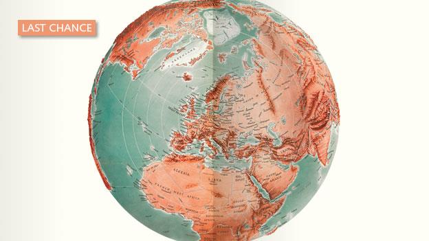
While this site lives a digital world of geographical information, there is nothing quite like going to visit a real life, physical ‘map den’, and for those who are able to, I’d highly recommend going to visit The British Library in Central London. Their map room has one of largest collections of geographical information, with approximately 4.5 million entities. This alone should be a pull factor to have a ‘map’ day in London. However, up until March 1st 2017, there is a further reason to venture down, and this is because of the fantastic “Maps and the 20th Century: Drawing the Line” exhibition which isRead More →
5. Map of the Day: Knock on Wood

2017-02-15
By: TheMole19
On: February 15, 2017
In: Map of the Day, maps, Uncategorized
Tagged: anthropology, canada, cartography, culture, geography, greenland, greenlandic, history, inuit, maps, Motd, old maps
With: 2 Comments

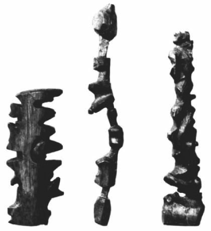
How would you define a map? A type in a popular search engine beginning with ‘G’, has a familiar definition, “a diagrammatic representation of an area of land or sea showing physical features, cities, roads, etc.”, and indeed the word map derives from the word ‘mappa’ meaning sheet/napkin. However, ironically though ‘map’ isn’t restricted to this two dimensional version we can fold up; as we all know, we live a digital age where you navigate the world around you with your laptop or smartphone too. But what happens if you live somewhere with little to no mobile internet signal and sub-zero temperatures most of theRead More →

4. Map of the Day: Selden Map of China

2017-02-09
By: TheMole19
On: February 9, 2017
In: Map of the Day, maps, Uncategorized
Tagged: cartography, china, geography, history, maps
With: 0 Comments

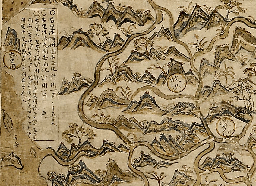
In a world where digital maps are available within a few clicks and can rely pre-loaded map projection systems to ensure we are mapping in the right location, for me it is always humbling and breathtaking the painstaking efforts and relative accuracy of older maps. One particular example is the Selden map of China (acquired from estate of London lawyer John Selden in 1659), one of the oldest surviving merchant trade maps, and one of the first Chinese maps to reach Europe, roughly dated 1607-1617. In many ways the beauty and craft of this map speaks for itself (see here), but there is more to thisRead More →

Posts pagination

Previous 1 2

Site Menu

  • The Map Den
  • maps
  • data visualisation
  • My Maps
  • Music Map
    • Music Map
    • Music Map: FAQs
    • Music Map: Archive
  • About

Recent Posts

  • Santa Claus Travel Time Maps
  • Twas Brexit What Won It – Re: UK General Election 2019
  • UK General Election 2019 – Maps and Cartograms
  • How I made a Music Map
  • Mapping Music – Search and Explore

Tags

africa arcgis brazil canada carto cartography christmas climate culture data data visualisation economics england environment europe football geography geospatial germany gis history map mapbox mapping maps Motd music netherlands old maps OriginalContent politics Population quiz russia santa claus satellite sport transport travel UK urban usa Wales web development world

Designed using Dispatch. Powered by WordPress.